 vesseltracker.com
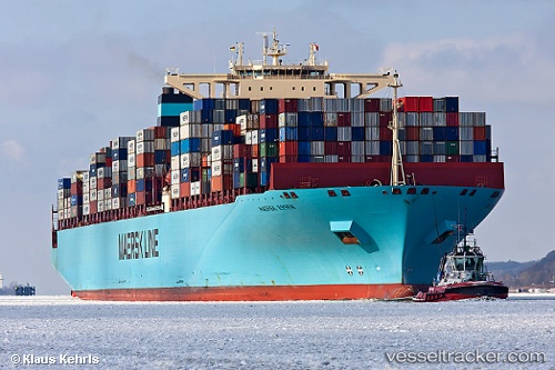
Vessel 'MAERSK ESSEN' IMO: 9456783, MMSI: 219210000
UTC, 7.05837, 107.99664, course: 32, speed: 17.7
UTC, 7.45608, 108.24531, course: 32, speed: 17.5
2026-01-27 12:33:45 UTC, 8.16632, 108.74132, course: 32, speed: 17
Live AIS position:
UTC. 18 nm S of Dai Hung (Tandem Load)),
updated 2026-01-27 12:33:45 UTC.
Find the position of the vessel 'MAERSK ESSEN' on the map. The latter are known coordinates and path.
marine traffic ship tracker show on live map
The current position of vessel 'MAERSK ESSEN' is 8.16632 lat / 108.74132 lng. Updated: 2026-01-27 12:33:45 UTCDetails:
Last coordinates of the vessel:
UTC, 6.57289, 107.66263, course: 35, speed: 17.9UTC, 7.05837, 107.99664, course: 32, speed: 17.7
UTC, 7.45608, 108.24531, course: 32, speed: 17.5
2026-01-27 12:33:45 UTC, 8.16632, 108.74132, course: 32, speed: 17